Utility Surveys
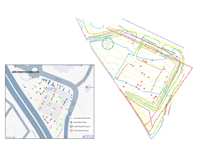
We provide all aspects of underground utility surveying.
-
Detecting underground services
using Radiodetection equipment and Mala GPR -
Tracing electric and communication
cables. -
Drainage tracing with sonde.
-
All of the above with a Topographical Survey.
Our Utility Surveyors are trained on specialised courses approved
by TSA
(The Survey Association)We can use Utility Surveying in conjunction with Topographical
Surveys to produce drawings with accurate location of services.
Depending on the purpose of the job, different levels of accuracy
can be achieved, in position and depth.We use PAS
128 compliant utility surveys. There are 4 survey types and
10 quality levels:Survey
Type(Establish
with client prior to survey)Quality
LevelPost-processing
Location
AccuracySupporting
DataHorizontal
1)Vertical
2)D
Desktop
utility records searchQL-D
-
Undefined
Undefined
-
C
Site
reconnaissanceQL-C
-
Undefined
Undefined
A
segment of utility whose location is demonstrated by visual
reference to street furniture, topographical features or evidence
of previous street works (reinstatement scar).B
Detection
3)QL-B4
No
Undefined
Undefined
A
utility segment which is suspected to exist but has not been
detected and is therefore shown as an assumed route.QL-B3
No
±500
mmUndefined
(No reliable depth measurement possible)Horizontal
location only of the utility detected by one of the geophysical
techniques used.QL-B3P
Yes
QL-B2
No
±250
mm or ±40% of detected depth, whichever is greater±40%
of detected depthHorizontal
and vertical location of the utility detected by one of the
geophysical techniques used. 4)QL-B2P
Yes
QL-B1
No
±150
mm or ±15% of detected depth, whichever is greater±15%
of detected depthHorizontal
and vertical location of the utility detected by multiple 5)
geophysical techniques used.QL-B1P
Yes
A
Verification
QL-A
-
±50
mm±25
mmHorizontal
and vertical location of the top and/or bottom of the utility.The
information gathered once the utility has been exposed shall
include as a minimum, depth from top of utility to a reference
point installed on the surface level.1)
Horizontal location is to the centreline of the utility.2)
Vertical location is to the top of the utility3)
For detection, it is a requirement that a minimum of GPR and EML
techniques are used.4)
Electronic depth readings using EML equipment are not normally
sufficient to achieve a QL-B2 or higher.5)
Some utilities can only be detected by one of the existing
detection techniques. As a consequence, such utilities cannot be
classified as a QL-B1.The fees are determined by the quality of data that is needed.
The most common quality levels used are QL-B3 and QL-B2. These
quality levels offer the most output for the cost of the job.We can tailor the needs of the job and we can help you with your
project in any circumstances.For further information do not hesitate to contact
us for a no commitment quote or recommendations.